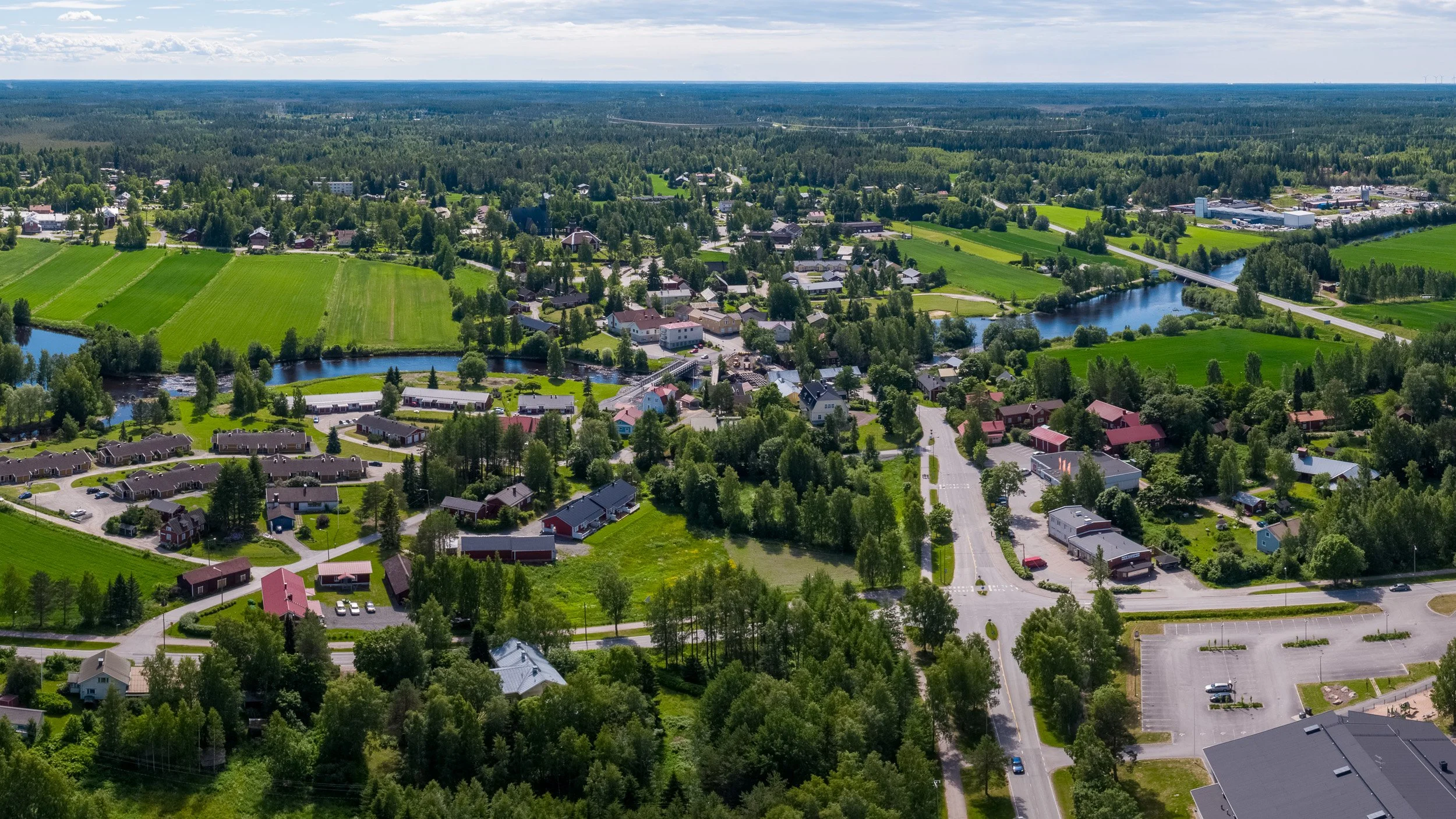
Aerial photography
The Zenmuse 8K-X9 Air full-frame camera (Yep, a monster of a name) with 44.7 Megapixels resolution and interchangeable lenses ranging from 24mm to 75mm focal lenghts, delivers exceptional aerial photographs.
The DJI Inspire 3´s georeferencing capability precisely records the drone's three-dimensional position within the photo metadata. This precise spatial data opens avenues for innovative architectural analysis, urban planning, and detailed 3D documentation. For example, architects can leverage this data for site analysis, model creation, and precise visualization of building relationships within their urban context.
Furthermore, our SORA license allows us to capture aerial photography across Finland's urban areas, excluding designated no-drone zones. This provides invaluable visual data for projects requiring a detailed understanding of the built environment.